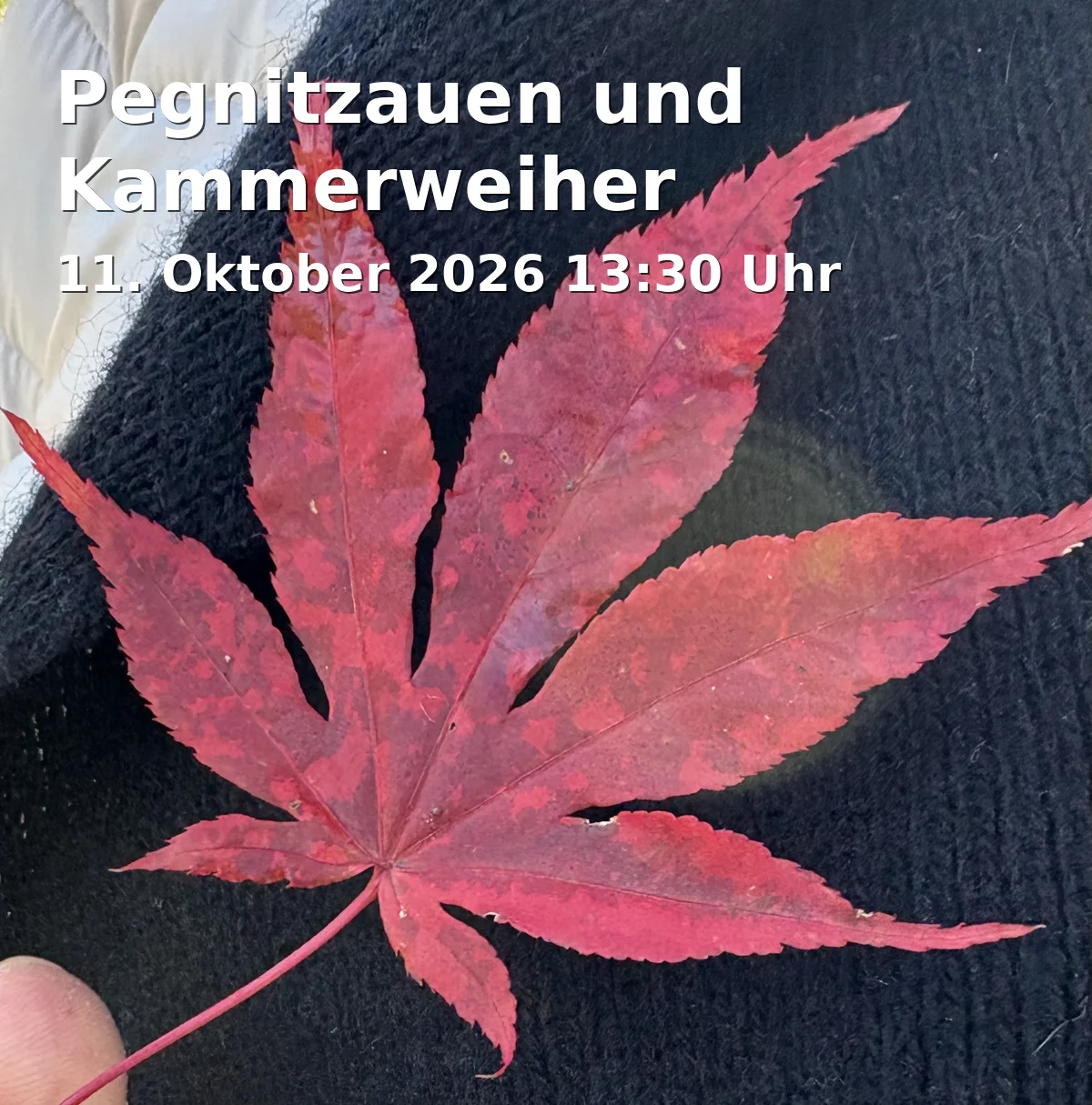
Pegnitz Floodplains and Kammerweiher: Experience Auerbach's nature up close
Date and Time
Location
Price
About this Event
Mood
Venue Type
Pegnitz Floodplains and Kammerweiher: a gentle hike full of nature moments
This guided hike will take you on Sunday, October 11, 2026, through the tranquil Pegnitz floodplains to the nature reserve Kammerweiher and beyond to the Rußhütte. Over approximately 9.5 kilometers, you will experience a scenic tour with little elevation gain, wide paths, and short root passages – a discovery experience for nature lovers and hikers who want to consciously experience regional landscapes. ([visorando.com](https://www.visorando.com/de/wanderung-kammerweiher-pegnitzauen/?utm_source=openai))
Between river floodplains, ponds, and forest paths
The route combines soft floodplain landscapes with the special character of the protected area. In the Pegnitz floodplains, the river remains close to nature, while the Kammerweiher is considered a valuable habitat for numerous animal and plant species. It is precisely this mix of water, openness, and forest that makes the hike so appealing. ([visorando.com](https://www.visorando.com/de/wanderung-auerbach-in-der-oberpfalz.html?utm_source=openai))
Historical traces along the way
Along the route, small landscapes open up that make the history of the region tangible. The surroundings of Auerbach are closely connected to natural spaces, old traffic development, and the regionally well-known hiking and cultural offerings of the Amberg-Sulzbacher Land. Those who look closely will discover a tour that elegantly links nature enjoyment and local history. ([amberg-sulzbacher-land.de](https://amberg-sulzbacher-land.de/service/fragen-antworten/?utm_source=openai))
Practical hike with clear framework conditions
The walking time is about 3.5 hours. Sturdy footwear and drinks are as essential to the equipment as a good basic fitness level for the approximately 9.5 kilometers long route. Additionally, registration with Marlene Dess is required. An alternative meeting point is indicated at 1:00 PM at the pavilion in Plech for carpooling. ([visorando.com](https://www.visorando.com/de/wanderung-kammerweiher-pegnitzauen/?utm_source=openai))
Meeting point and travel
The starting point is the hiking parking area Pegnitz Floodplains near Rauenstein close to Auerbach in the Upper Palatinate. According to the tour description, the route is accessible via state road 2162 between Ranna and Auerbach; additionally, the bus stop Abzweig Rauhenstein is mentioned in the route description as a point of orientation for arriving. ([visorando.com](https://www.visorando.com/de/wanderung-kammerweiher-pegnitzauen/?utm_source=openai))
Conclusion
The Pegnitz Floodplains and Kammerweiher hike combines nature experience, peaceful movement, and regional identity into a coherent tour for all who wish to discover the Upper Palatine landscape authentically. Secure your spot and experience a rejuvenating hiking day in the green this autumn. ([visorando.com](https://www.visorando.com/de/wanderung-kammerweiher-pegnitzauen/?utm_source=openai))
Official channels of Amberg-Sulzbacher Land:
- Instagram: https://www.instagram.com/ambergsulzbacherland/
- Facebook: https://www.facebook.com/AmbergSulzbacherLand/
- YouTube: https://www.youtube.com/@AmbergSulzbacherLand
- TikTok: No official profile found
Sources:
- Questions & Answers - Amberg-Sulzbacher Land
- Erzweg - Amberg-Sulzbacher Land
- Kammerweiher Pegnitz Floodplains - Visorando
- The most beautiful hikes Auerbach in the Upper Palatinate - Visorando
- Nature Reserve Pegnitz Floodplains - Government of the Upper Palatinate
- Round Tours 2024 - Amberg-Sulzbacher Land